


News

Japanese analytics company shares how mobility data can complement official statistics ahead of the 2030 census round
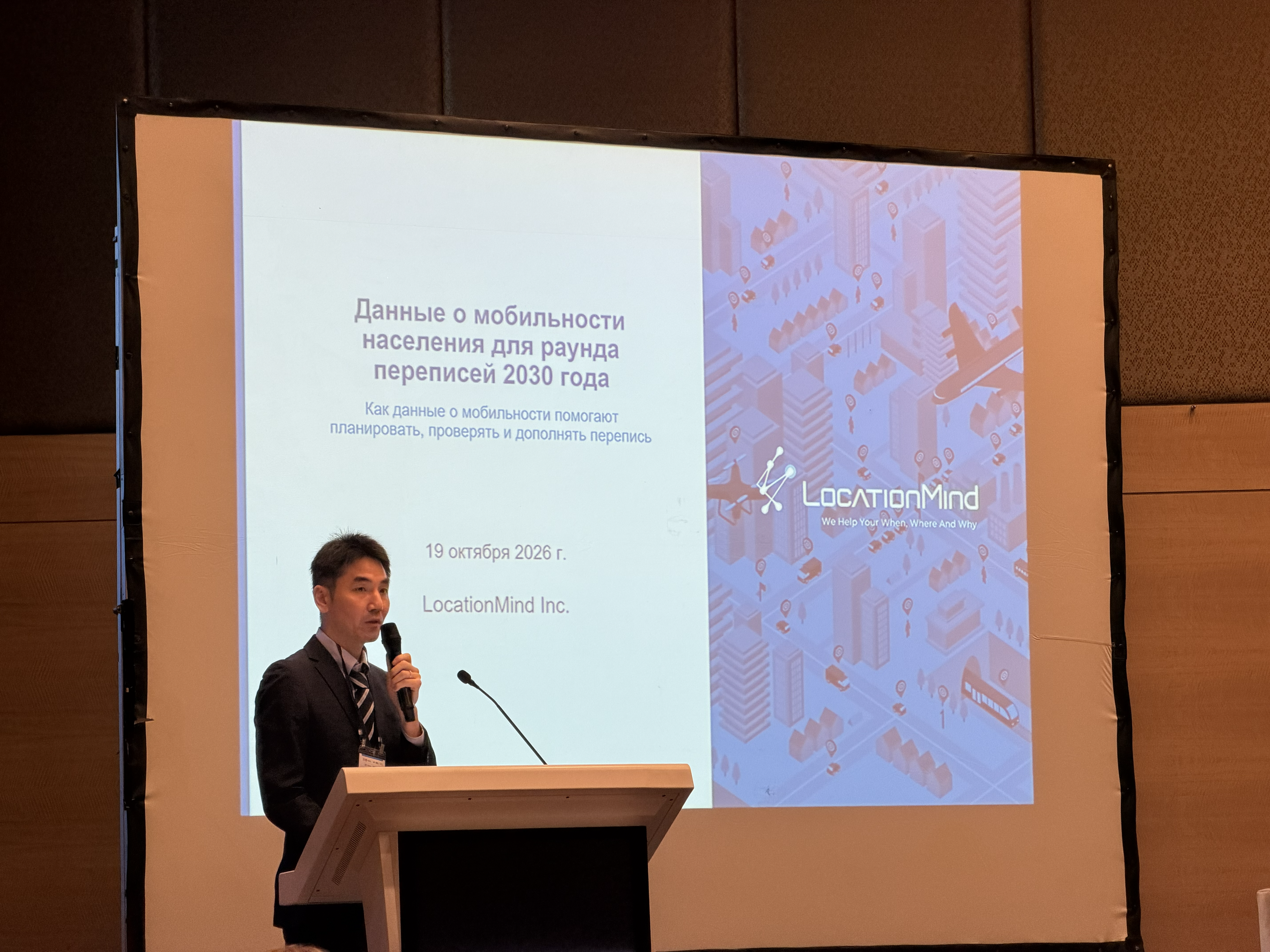
ANKARA, Türkiye, October 26, 2026 — LocationMind Inc., a Japanese mobility and geospatial analytics company, participated in the Regional Workshop on the Use of Administrative Data in the 2030 Census Round, held in Ankara from October 19–23, 2026. Yusuke Igarashi and Needa Malik represented the company at the Private Sector Expo and Engagement Day on October 19.
The workshop was organized by the United Nations Population Fund (UNFPA) Regional Office for Eastern Europe and Central Asia and the United Nations Statistics Division (UNSD), in collaboration with the United Nations Economic Commission for Europe (UNECE) and the United Nations Economic and Social Commission for Asia and the Pacific (ESCAP). It brought together national statistical offices from 18 countries across Eastern Europe, the Western Balkans and Central Asia to strengthen the use of administrative data in census-taking and prepare for the 2030 census round.
During the presentation, “Location Data for the 2030 Census Round,” LocationMind explored how mobility data can support census fieldwork planning and validation, provide more detailed insights into population distribution, and help identify changes between census rounds. Examples included population changes following the 2024 earthquake on Japan's Noto Peninsula, alongside applications from the company's work in Sri Lanka and Ukraine. LocationMind also highlighted its work in Ukraine, supported by the United Nations Industrial Development Organization (UNIDO) with funding from the Government of Japan. The project uses mobility and geospatial analytics to support municipal recovery and urban infrastructure planning.
These applications address a practical challenge for statistical offices: understanding where people live and how population patterns change during periods of migration, displacement and recovery. Used alongside administrative records, surveys and census results, mobility data can provide additional evidence to inform population statistics and the planning of infrastructure and public services.
The company's approach complements established census and statistical methods, with attention to privacy, data coverage and representativeness, and to calibration and validation against surveys and official sources.
About LocationMind
LocationMind is a Japanese technology company that grew out of the University of Tokyo's Shibasaki Laboratory. It develops mobility and geospatial analytics that help public institutions and businesses understand population movement and plan infrastructure, services and investments. Learn more at locationmind.com.
Contact
Rina Sano, LocationMind
pr@locationmind.com